

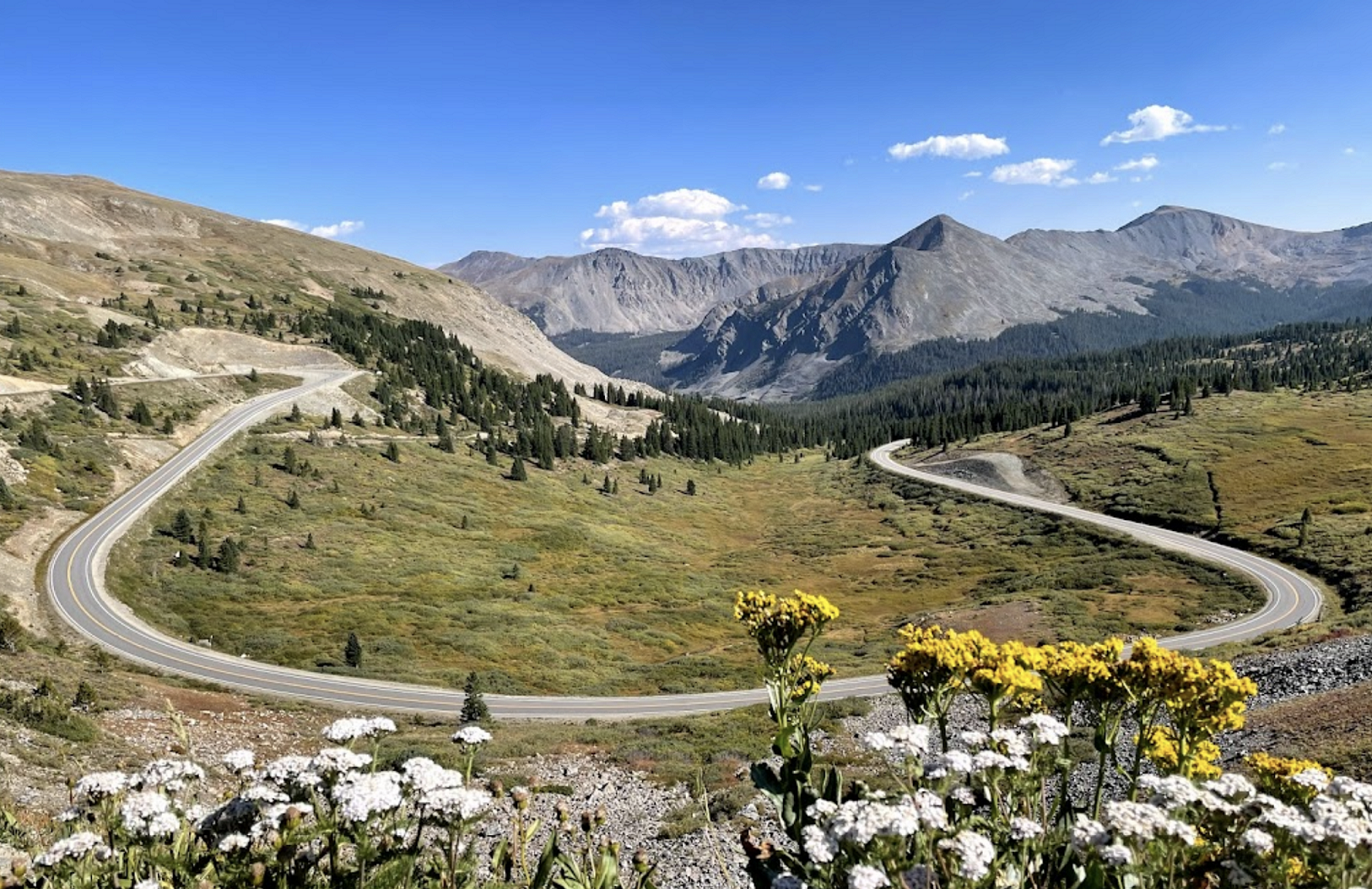
If you’re planning to have a summer trip to areas within Gunnison County, it’s important to be aware of the seasonal road closures that may affect your travel plans. The Motor Vehicle Use Map (MVUM) is a free resource that shows every route in the National Forest open to motor vehicles in the area, including information on seasonal road closures.
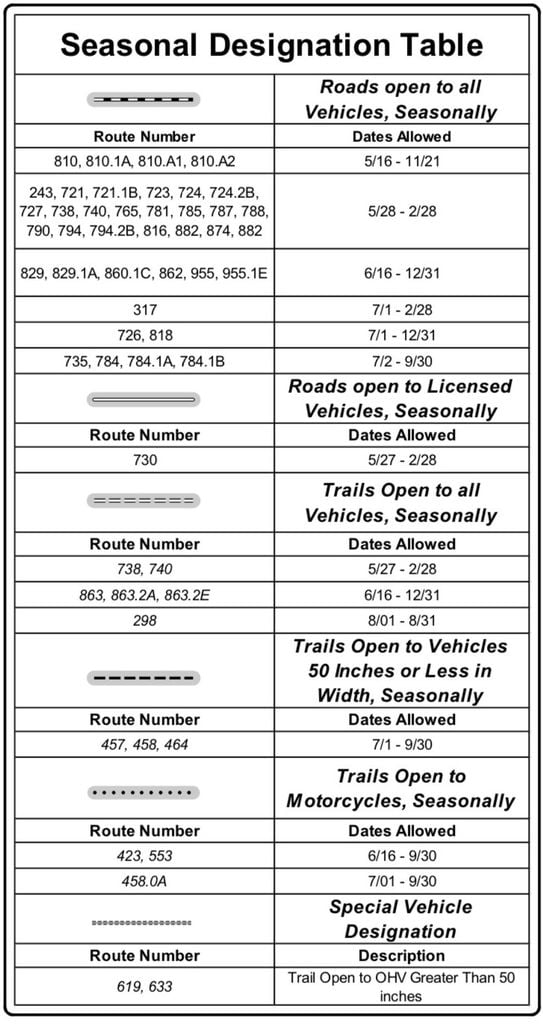
During the spring, some roads are closed to protect the roadbed from rutting and destruction of drainage features. This is particularly important in big snow years when the roads are more vulnerable to damage. As a result, some routes may be left closed longer than normal to try to protect the roadbed from very expensive damage.
To ensure that your summer trip goes smoothly, it’s important to check the MVUM for the area you plan to visit and pay attention to the seasonal designation table. This table will provide you with information on when certain roads are open and closed, as well as any seasonal restrictions or limitations on use.
By being aware of these seasonal road closures and restrictions, you can plan your trip accordingly and avoid any unexpected detours or roadblocks. Whether you’re planning to hike, bike, fish, or camp in the area, the MVUM is a valuable resource that can help you make the most of your summer adventure in Gunnison County.
You can access the Motor Vehicle Use Map here.